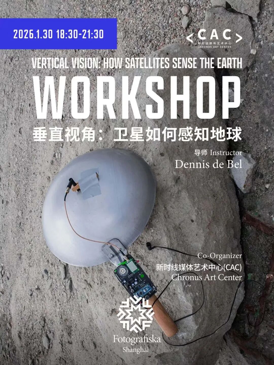
CAC x Fotografiska | Vertical Vision: How Satellites Sense The Earth
Date:2026.1.30 (Friday)
Time:19:30 – 21:30
Instructor:Dennis de Bel
Co-host: Fotografiska
Venue:3F, No. 127 Guangfu Road, Jing’an District, Shanghai
Language:English
Ticket fee:200 RMB (includes exhibition admission)
The Workshop Vertical Vision: How Satellites Sense the Earth offers a comprehensive hands-on guide to receiving, processing and interpreting real-time weather satellite images.
Weather satellites convert the planet into continuous streams of data. From low Earth orbit, clouds, oceans, ice, land, and atmosphere are sensed through electromagnetic signals and rendered as images that shape how weather, climate, navigation, and risk are understood. These processes, however, are usually encountered only through interfaces and infrastructures that present satellite images as neutral, objective, and self-evident.
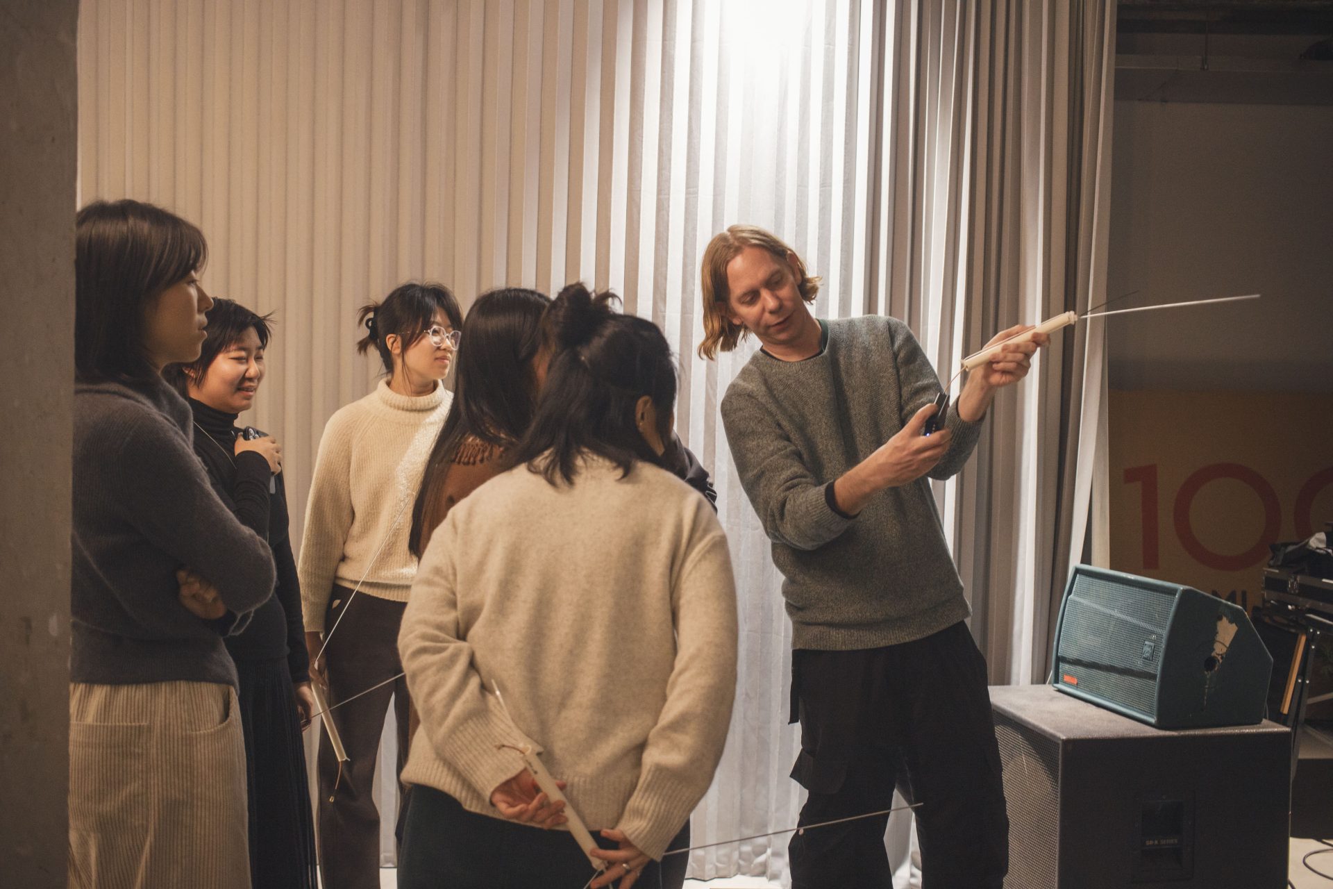
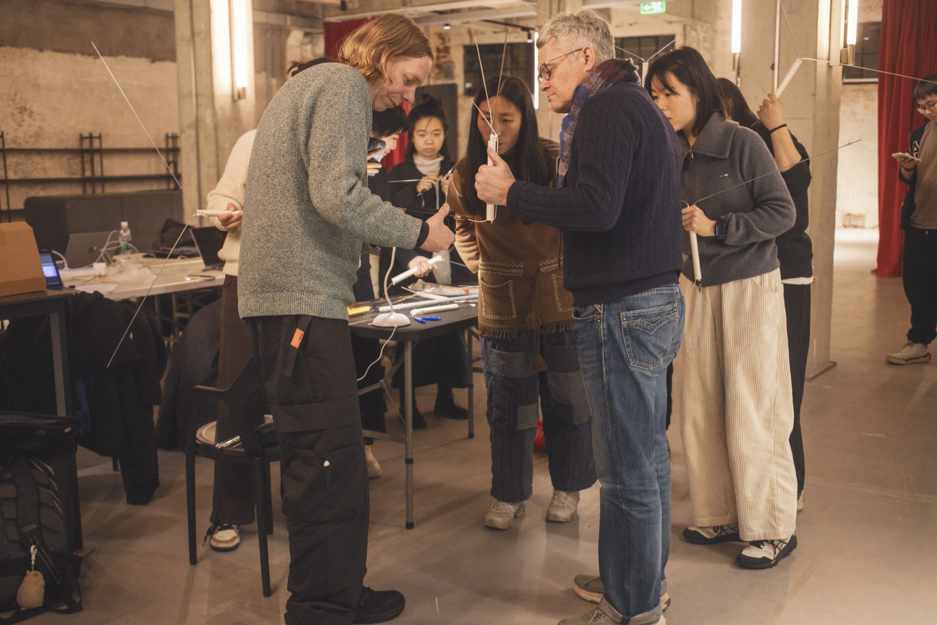
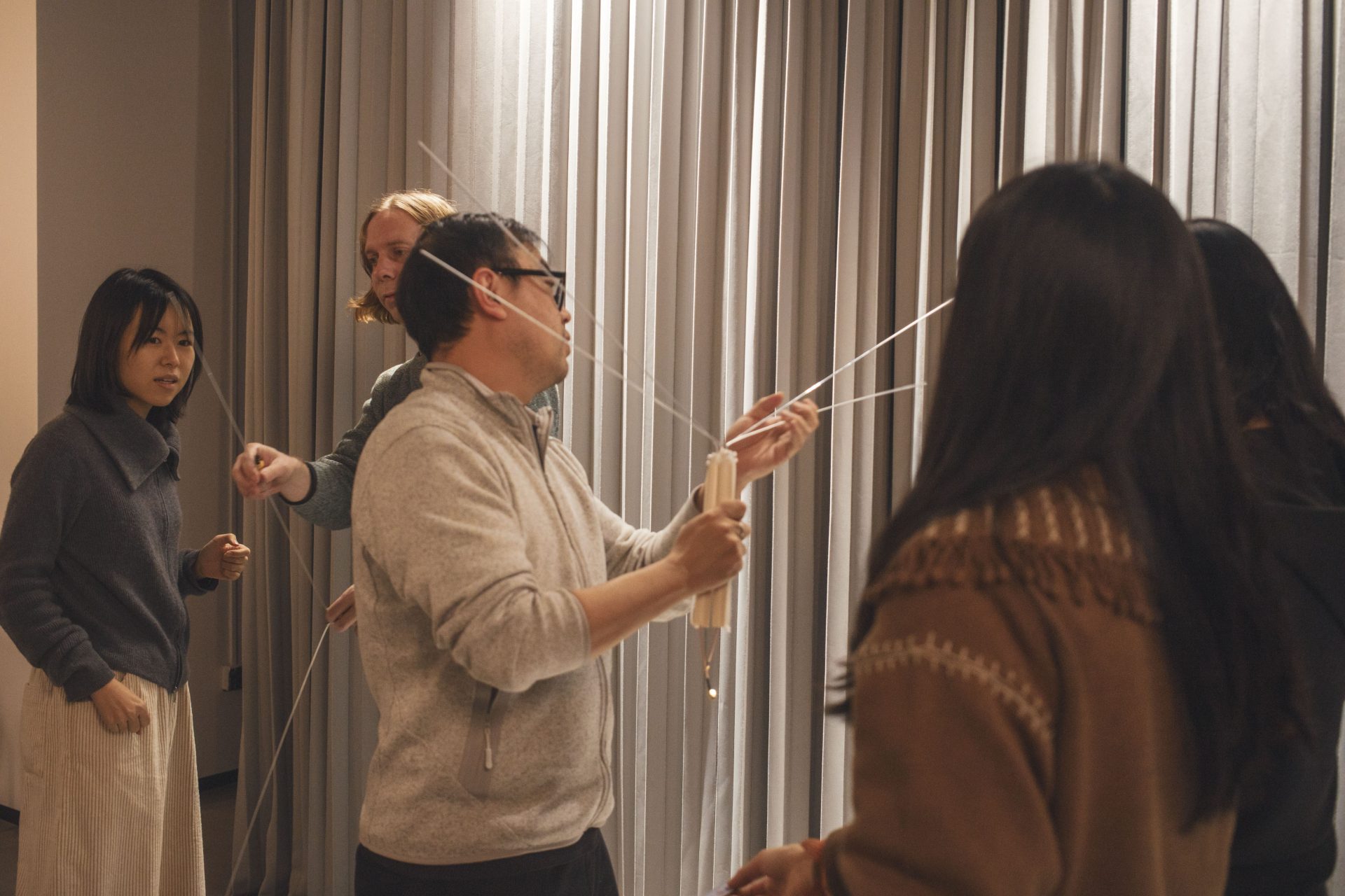
Vertical Vision is a hands-on workshop that invites participants to engage directly with weather satellites orbiting the Earth. Rather than treating satellite images as transparent representations, the workshop approaches them as practices and processes: signals intercepted, decoded, rendered, and interpreted by a largely invisible low-Earth-orbit stack of technologies, standards, and spatial regimes.
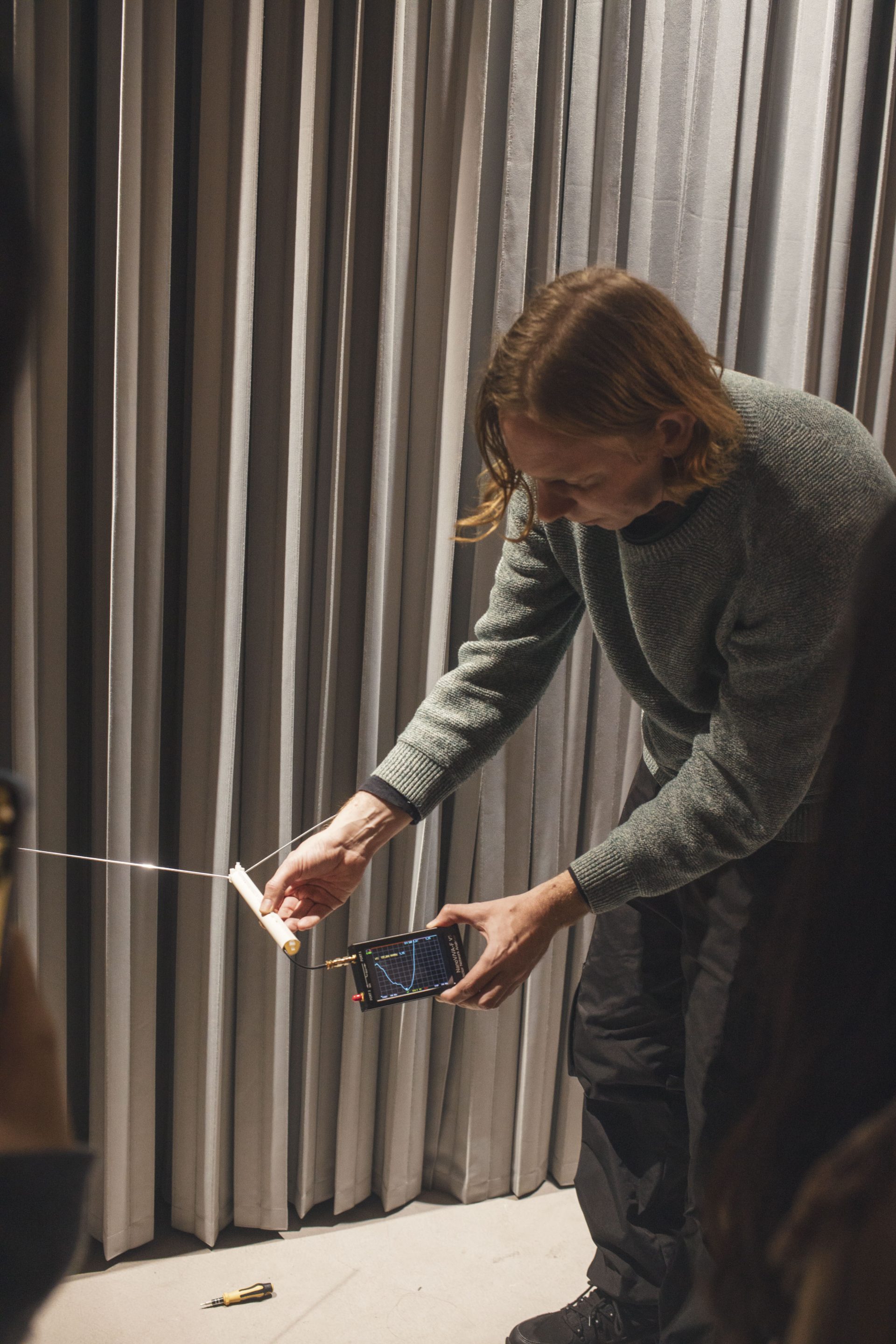
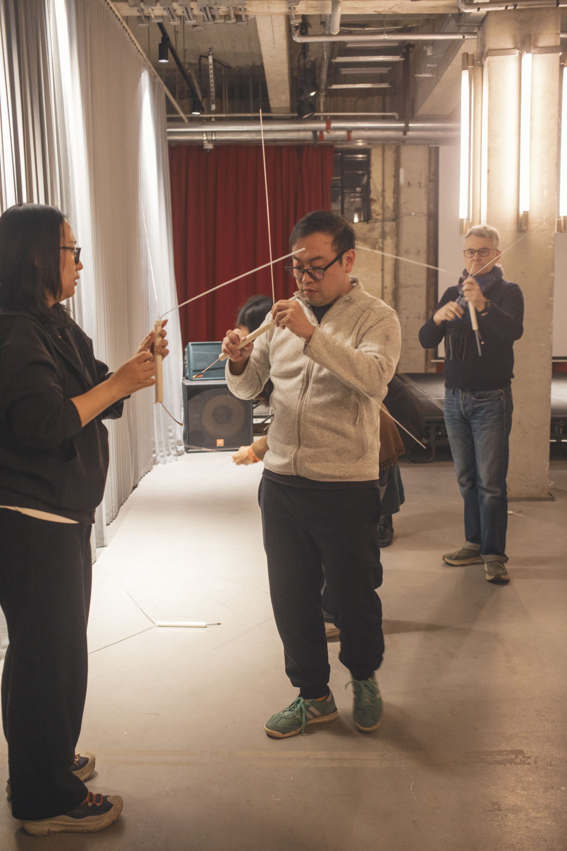
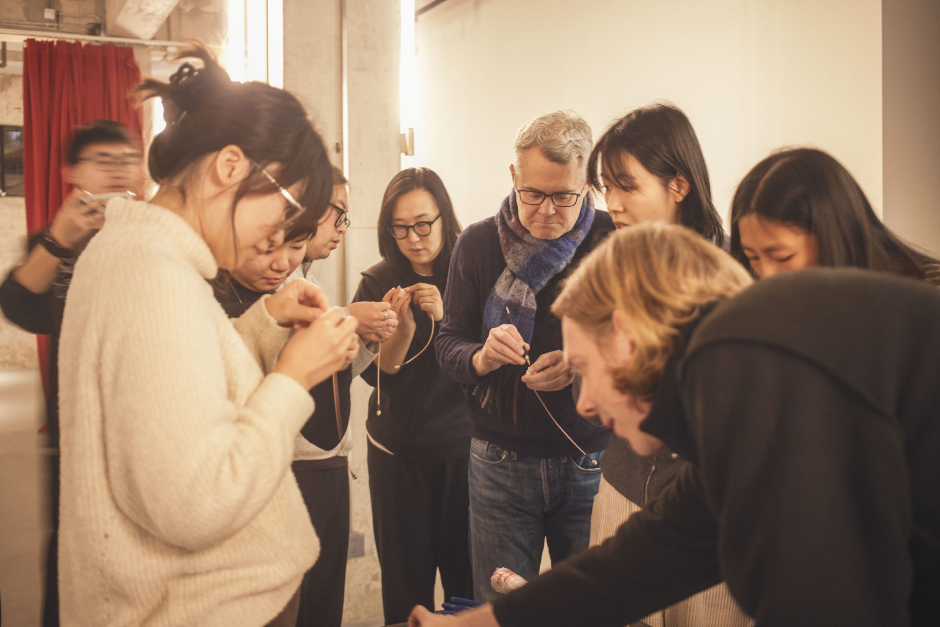
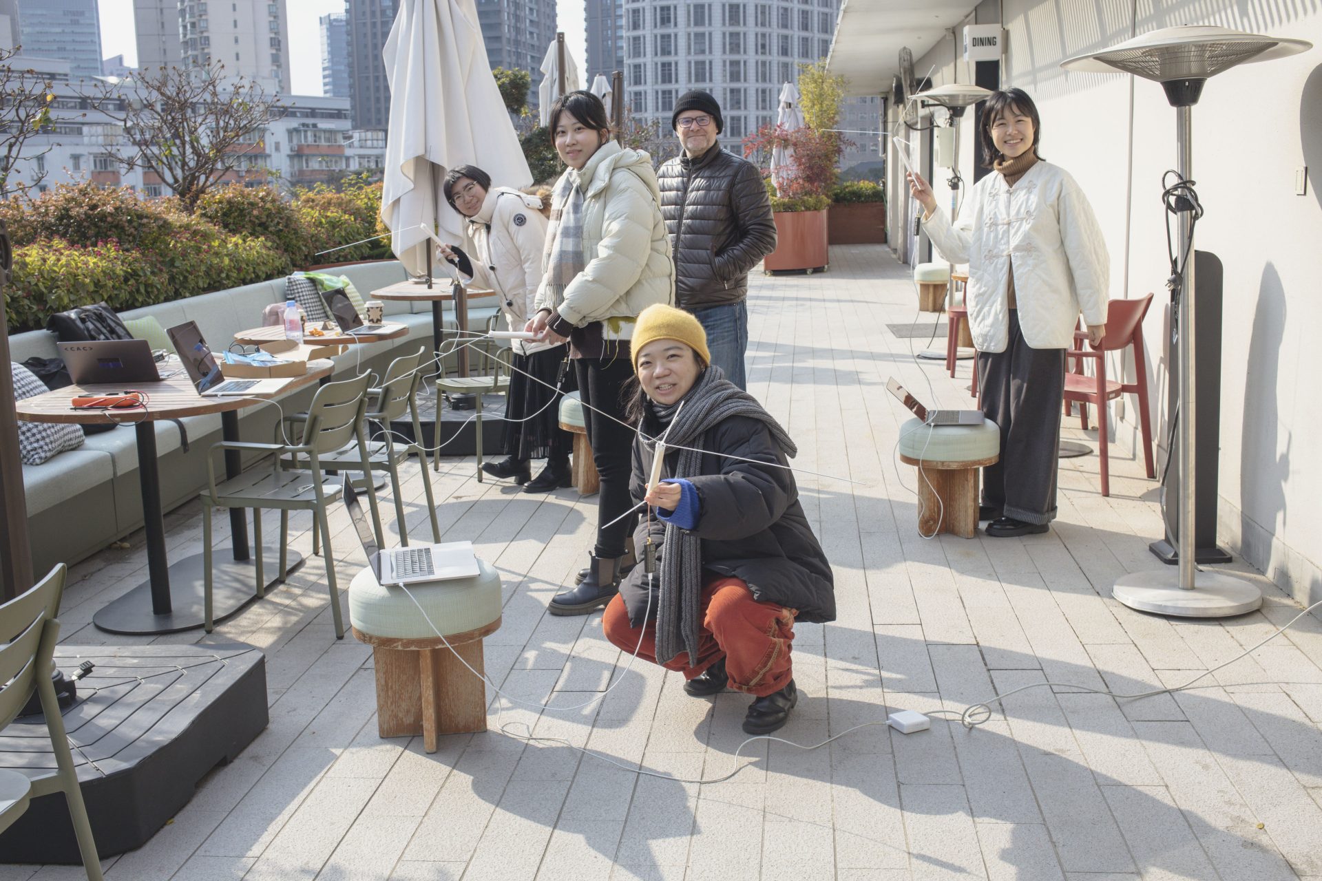
By building and tuning antennas, tracking satellites in real time and decoding live data streams, participants will learn how satellite images come into being and how their meanings are shaped by interference, computation and atmospheric conditions. In doing so, the workshop opens satellite sensing to critical, creative, and physical engagement. Weather satellites serve as an entry point to reflect on vertical perspectives that have historically shaped navigation, orientation, and the governance of space and knowledge, while emphasizing that technologies are not monolithic and can be repurposed and reused.
Weather is a global phenomenon: it does not recognize borders, sovereignty, or airspace. By working directly with raw satellite data, participants are invited to question how satellite images acquire authority, how environmental data becomes knowledge and how infrastructures of sensing can be critically, creatively, and non-hegemonically engaged during the workshop and beyond.
Participants will gain practical experience with:
• Radio fundamentals, propagation and the electromagnetic spectrum
• Constructing, tuning, and measuring antennas
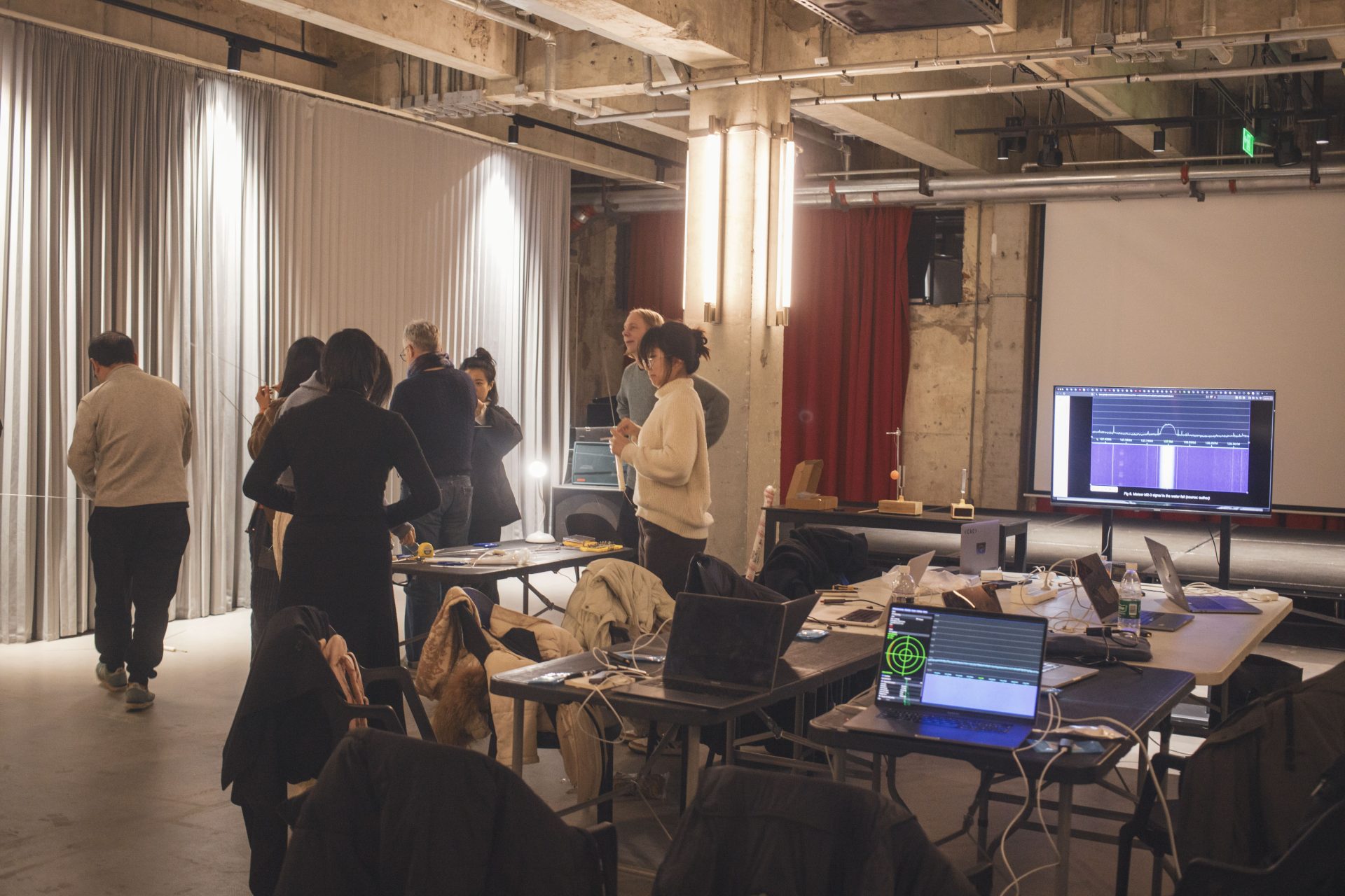
• Software-defined radio (SDR) basics
• Satellite orbits, tracking, and timing
• Principles of remote sensing and weather imaging
• Receiving and decoding satellite signals using open-source software
• Interpreting satellite images as data, representations, and cultural artifacts
This workshop was co-hosted by Fotografiska in the context of their Space exhibition